Shifting boundaries: encroachment and undeclared artisanal mining around the site.
Home/Services/Anticipate/Site Risk Mapping
Anticipate
Site Risk Mapping
Seeing the ground as it changes, around the site and along the corridors.
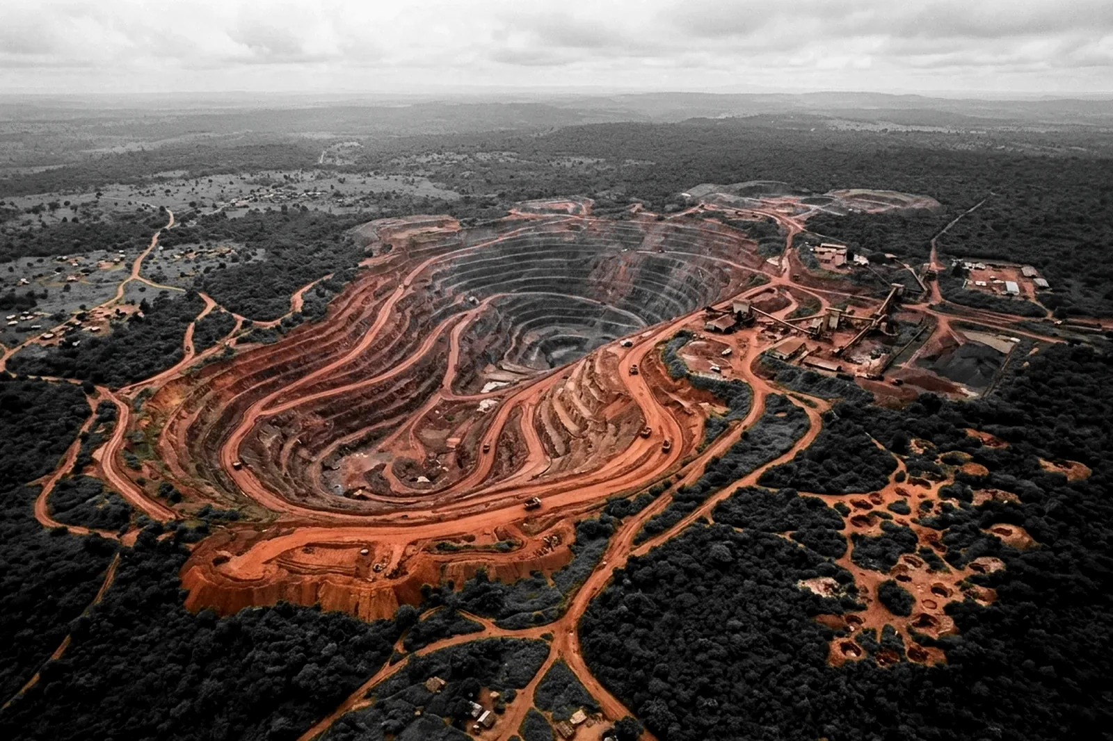
The challenge
Risk shows on the ground before it shows in a report.
01
02
Corridors to hold: access routes, break points and sensitive areas change with the seasons.
03
A shifting community context: incidents have a geography, and it moves.
04
A security plan that ages: without updates, it describes ground that no longer exists.
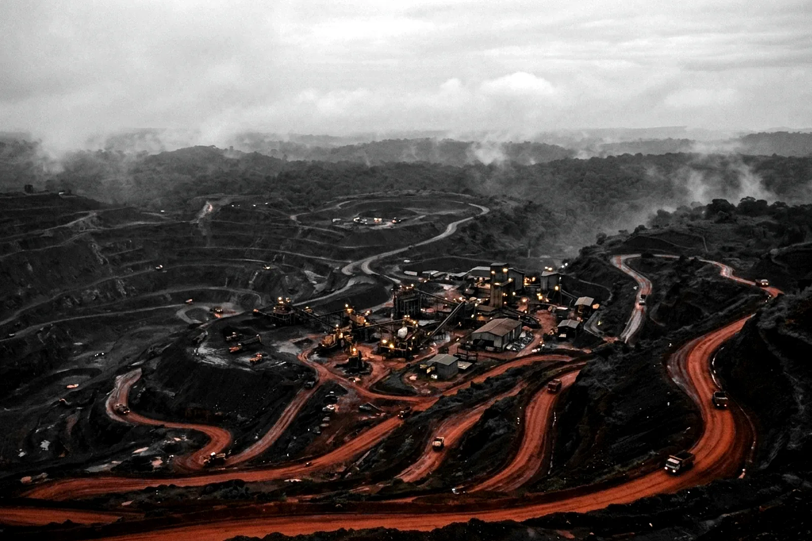
What the service covers

From raw data to a ranked target map.
- Satellite imagery monitoring of boundaries and surroundings
- Detection of encroachment and undeclared artisanal mining
- Mapping of access routes, break points and sensitive areas
- Cross-referencing with incidents and the community context
- Updated risk maps, built into the site security plan
Who it is for
Mining operators
Traders and refiners
Financiers
How to start
01
Scoping of the site boundary and corridors
02
A first risk map in four to six weeks
03
Updates and integration into the security plan
Let's talk about your site.
Tell us where the site is, what needs protecting and by when. We come back to you with a first read.